The site the maps call Old Spanish Fort occupies a bluff above the Red River in northern Montague County, approximately twelve to fifteen miles north of Nocona at the end of Farm-to-Market Road 103. There is no formal visitor center. No interpretive campus. A cemetery, a handful of residences, and the atmospheric weight of a place that has outlasted every purpose it was built for.
The name is wrong. There was never a Spanish fort here. The fortifications Anglo-American settlers found on the bluff in the mid-19th century were Taovaya earthworks — the remnants of a fortified agricultural village built by a Wichita-Caddoan people generations before any European eye saw this ground. The misnaming tells you something about how Anglo-American settlement absorbed Indigenous history: find earthworks, assume “Spanish,” and inscribe the error onto the map before anyone asks whose hands built the walls.
This page covers the full chronological depth of the site — from pre-contact Taovaya occupation through the 1759 battle, Anglo settlement, cattle-era commerce, and ghost-town decline. For the companion ghost-town community narrative centered on the Chisholm Trail era and H.J. Justin’s boot shop, see Spanish Fort.
Tribal consultation pending. The Wichita and Affiliated Tribes are the federally recognized descendants of the Taovaya and the authoritative keepers of this history. Claims from Spanish colonial and secondary sources reflect what those sources recorded, not the Taovaya’s own understanding of these events.
Pre-Contact Occupation — The Taovaya Hub
Long before Diego Ortiz Parrilla’s cannon smoke drifted over the Red River, the bluff at Spanish Fort was the center of something substantial. The Taovaya — a Wichita-Caddoan people speaking a language in the Caddoan family, related to the Pawnee of the central Plains and the Caddo Confederacy of east Texas — had built a fortified agricultural town on the south bank of the Red River that was, by the mid-eighteenth century, one of the most important settlements between the Mississippi and the Pueblo Southwest.
The Wichita-Caddoan peoples were not nomads. They were town people, farmers, traders, and fortification builders. Their grass-thatched dome lodges — circular structures thirty to fifty feet across with central hearths and sleeping berths around the interior walls — clustered into permanent settlements surrounded by cultivated fields. Corn, beans, squash, and sunflowers grew in the river bottoms below the bluff. The village was occupied year-round.
Defensive Architecture
Spanish colonial records, confirmed by archaeological investigation, describe the Taovaya settlement at Spanish Fort as a fortified complex of earthen walls, wooden palisades, and a defensive moat. The “Twin Villages” designation — used in later historiography for the 1759 battle — refers to paired village clusters on the Red River terrace, likely reflecting social or kinship divisions within the Taovaya community positioned to support each other defensively.
The defensive architecture was sophisticated. The palisade incorporated both vertical and horizontal timber elements reinforced with packed earth — not a simple fence but a military wall. Archaeological investigation has confirmed the defensive ditches, palisade post-mold evidence, and traces of dome-lodge foundations across the terrace. These were not the fortifications of a people who expected peaceful times.
The French Trade Network
What made the Taovaya village strategically significant — and what made the 1759 battle’s outcome possible — was its position in the French trade network radiating from Louisiana posts. French traders working up the Red River from Natchitoches reached the village with trade goods the Spanish, whose strategy ran to missions and presidios rather than commercial alliance, did not match.
Flintlock muskets, gunpowder, lead, metal tools, wool blankets, iron kettles — these goods moved into the village in exchange for buffalo robes, deer hides, and bois d’arc bow staves. By the mid-eighteenth century, the Taovaya and their Wichita-Caddoan neighbors were among the best-armed Indigenous peoples on the southern Plains. When the Spanish expedition of 1759 arrived expecting to face an adversary limited to bows and lances, they found defenders behind earthworks with muskets.
The 1759 Battle — Colonial Collision
Why Spain Came Here
The Spanish expedition of 1759 was not a routine patrol. It was a punitive force sent in response to the March 1758 destruction of Mission Santa Cruz de San Sabá in present-day Menard County. A coalition of approximately 2,000 warriors — Comanche, Taovaya, Tawakoni, Tonkawa, and others — had attacked and destroyed the mission, killing the Spanish missionaries and scattering the Lipan Apache the mission had been founded to serve.
Colonel Diego Ortiz Parrilla assembled his response across the summer of 1759: roughly 600 men in total — Spanish regulars, militia, and Indigenous allies including Lipan Apache — plus a pair of small fieldpieces, cannon he expected to deploy decisively against what he believed would be an unfortified village.
The Battle of the Twin Villages (October 7, 1759)
The village Parrilla’s force approached on October 7, 1759, was not what his intelligence had implied. The Taovaya had prepared. Earthen walls reinforced with wooden palisades, a defensive moat, prepared firing positions. A French flag flew above the fortification — a deliberate declaration of alliance, visible to the approaching Spanish column.
Comanche cavalry had also gathered at the site. The Comanche-Wichita trade alliance, which had linked the two peoples through horses and French trade goods, produced a combined military force when the Spanish arrived.
The two Spanish cannon fired against the palisades for four hours and failed to breach them. This is the sentence that defines what happened at Old Spanish Fort on October 7, 1759.
The cannon were adequate for breaching mud-brick walls; they were inadequate against earthen berms backed by timber palisades. The defenders returned fire with French-supplied muskets. Comanche cavalry swept the Spanish flanks throughout the engagement, making any outflanking maneuver dangerous. As the afternoon wore on, ammunition ran short, casualties accumulated, and the mathematical reality became apparent.
Parrilla ordered the retreat. The force pulled back, leaving the baggage train and both cannon behind — captured by the Taovaya. Spanish killed: 19 confirmed in the after-action report. Wounded: fourteen or more. The Taovaya’s casualties were not recorded by Spanish clerks.
No further Spanish military expedition entered Wichita-Caddoan territory after 1759. The retreat from the Red River was Spain’s most significant military loss to Indigenous forces in 18th-century Texas.
For the full battle account, see Battle of the Twin Villages.
The Misnamed “Spanish Fort”
The name “Spanish Fort” is a gift to posterity from Anglo-American settlers who arrived in the mid-19th century, found earthwork ruins on the bluff, and assumed those earthworks had been built by Spanish soldiers. They had not. The fortifications were Taovaya. The battle fought there in 1759 was an Indigenous victory over Spanish forces, not a Spanish military installation.
The misnaming arose from a combination of factors that persist wherever Indigenous history is not preserved by the people who made it: the loss of Taovaya oral tradition through removal and demographic catastrophe; the tendency of Anglo-American settlers to attribute any pre-contact earthwork to “Spanish” activity; and the absence of documentation that could correct the misidentification before the name solidified. The name persists on maps and road signs. This page uses it as a geographic referent, with the understanding that what it actually commemorates is a Taovaya victory.
Taovaya Decline and the Long Absence (1760–1847)
After the 1759 battle, the Taovaya village remained occupied, but the occupation thinned under pressures that combined to dismantle the civilization that had built the earthworks. Smallpox struck the Red River corridor repeatedly — an 1801 epidemic was particularly severe across the southern Plains — and a population already reduced by war and raiding faced each successive wave of disease with fewer people to absorb the loss. Estimates of Wichita-Caddoan population decline through the late 18th and early 19th centuries run to 80 to 90 percent from pre-contact levels.
Comanche expansion was the other force. As the Comanche Empire consolidated its hold on the southern Plains through the early 19th century, former Wichita-Caddoan ranges became Comanche territory in practical terms. By the early 19th century, the Spanish Fort village was largely or wholly abandoned.
In the vacuum left by the Taovaya withdrawal, the Red River corridor at Spanish Fort was Comanche country. The bluff and the river crossing remained strategic geography — traversed by Comanche raiding parties moving south into Texas and returning north — but not occupied in the way it had been. Republic of Texas survey parties began probing the northern frontier in the 1840s, establishing the formal framework that would eventually bring Anglo settlers to Montague County.
Anglo Settlement and the Cattle Era (1848–1890s)
D. Wood — The 1848 Burial
The first confirmed Anglo-American burial at Old Spanish Fort Cemetery dates to 1848: a person recorded as D. Wood, whose full name and family connection have not been recovered from available sources. The 1848 date places this burial nine years before Montague County’s formal organization, in the period when Anglo settlement in north Texas was simultaneously pushed by land-survey infrastructure and pushed back by Comanche raiding pressure that made permanent settlement of the Red River corridor genuinely dangerous.
D. Wood’s grave is the first Anglo mark on ground the Taovaya had held for generations. Beneath the burial soil, the Taovaya earthworks persist as subsurface archaeology. On the same bluff where the Taovaya palisade held off Parrilla’s cannon, the first Anglo-American settler community was putting its dead.
H.J. Justin’s Boot Shop (1879)
In 1879, a twenty-year-old Indiana-born cobbler named Herman Joseph Justin opened a bootmaking shop in Spanish Fort, borrowing $35 from the town barber to finance the setup. Spanish Fort in 1879 was a Chisholm Trail crossing community with a working population of cattle drovers who needed quality boots and could pay for them.
Justin built his reputation on custom work and a mail-order innovation: customers mailed in paper foot measurements, Justin made the boots to specification and shipped them back. The system extended his reach far beyond the walk-in trade. The cattle drovers passing through Spanish Fort were a mixed workforce — Anglo, Black, and Tejano and Mexican vaquero hands from south Texas — and the boot shop served them all.
Justin’s ten years in Spanish Fort (1879–1889) bridged the site’s pre-Anglo and cattle-trail layers. The departure marked the community’s trajectory. In 1889, Justin moved his operation to Nocona, newly founded on the GH&W Railway in 1887, because the railroad access his mail-order business required was in Nocona, not Spanish Fort. When the most successful commercial operation on the bluff chose to relocate, it established the direction the community would take.
For Justin’s full biography, see H.J. Justin.
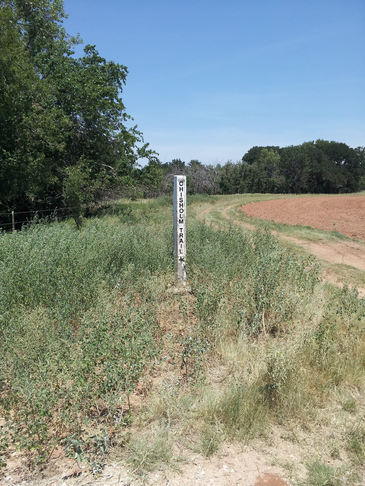
Chisholm Trail Crossing
Spanish Fort served as a secondary crossing on the Chisholm Trail, particularly when the primary ford at Red River Station, approximately ten miles west, ran high. The commercial infrastructure that developed around the crossing — saloons, supply stores, stables — was trail-economy infrastructure, dependent on the seasonal northward movement of cattle herds.
For more on the Chisholm Trail’s role in shaping this part of Montague County, see Chisholm Trail.
Ghost Town — Decline to Present
The Chisholm Trail’s commercial lifespan effectively ended in 1884. Kansas quarantine laws, advancing railheads in Kansas and the Texas Panhandle, and the structural changes to the beef market made the long drive north redundant. Spanish Fort, which had no railroad and no agricultural base sufficient to replace the trail economy, began its contraction. Justin left in 1889. Nocona’s founding on the railway in 1887 had already pulled commerce east.
The 20th-century trajectory traced the arc common to bypassed trail-era communities across north Texas: declining population, closing businesses, deteriorating structures, and the gradual return of the land to pasture and cedar brush.
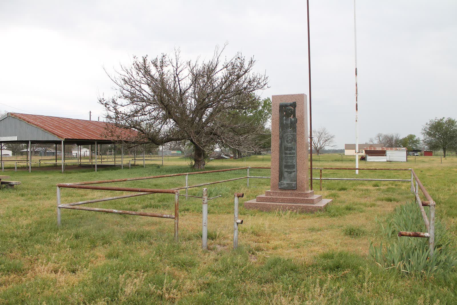
Spanish Fort today is a small unincorporated community with a handful of residences and working ranches. Earthwork remnants from the Taovaya village are visible in some areas; archaeological investigation has confirmed the defensive ditch and palisade-post features of the 1759-era fortification. The site is recognized by the Texas Historical Commission. Texas Beyond History (texasbeyondhistory.net) maintains scholarly documentation of the Spanish Fort site, including results from archaeological survey work.
The Old Spanish Fort Cemetery, at the end of FM 103 near the Red River bluff, continues as a maintained burial ground with documented burials from the 1840s onward.
Archaeological Heritage and Ongoing Research
The two Spanish cannon that Parrilla’s expedition abandoned in October 1759 have had a longer life in legend than they are likely to have had in physical fact. Spanish colonial after-action records confirm their abandonment. What happened to the cannon afterward is less certain. The folklore tradition branches into competing narratives — the Taovaya kept them as trophies; they were eventually removed; treasure hunters have periodically searched. None of these threads carries documentary support beyond the initial abandonment fact. The cannon’s disposition remains unresolved; archival work in Spanish colonial records in Mexico City and Sevilla would be the appropriate next step.
What the folklore preserves, whether or not specific cannon-location claims are accurate, is a cultural memory of the 1759 battle that survived the erasure of the Taovaya from the site. The legend kept the battle in the oral tradition of Anglo-American settlers who knew the site as Spanish Fort, even as they misattributed its earthworks. The legend is wrong about the cannon’s location and wrong about the site’s identity, but it is right about the battle’s significance: something momentous happened here, and the ground remembers it.
The Wichita and Affiliated Tribes’ relationship to this ground is not ghost-story folklore but living cultural connection. Tribal consultation pending — their authoritative knowledge of the site’s significance is not yet incorporated here.