HISTORY

Pre-Anglo Texas

The land before the survey lines — Comanche territory, river crossings, and the Spanish trails that preceded statehood. Every creek crossing in the county has an older name.

The land that became Montague County was not empty before Anglo settlers arrived — it was organized, contested, and economically significant, the center of a three-way contest between two European empires and the Indigenous peoples who had been farming, trading, and fortifying its Red River corridor for generations.

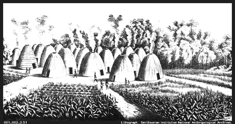
Wichita village lithograph c. 1850–1875, showing grass-thatched dome lodges similar to the Taovaya settlement at Spanish Fort on the Red River
Pre-Anglo Texas

Battle of the Twin Villages (1759) — The Taovaya Victory at Spanish Fort

On October 7, 1759, Taovaya defenders and their Comanche allies repulsed a 600-man Spanish military expedition at their Red River village. The most significant pre-Anglo military event in Montague County's history — and Spain's worst military defeat at Indigenous hands in 18th-century Texas.

Read article →
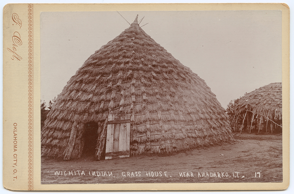
Wichita grass lodge near Anadarko, Indian Territory, c. 1885–1900 — Wichita peoples share a Caddoan language family with Caddo, and their grass-thatched dome lodges reflect a shared architectural tradition
Pre-Anglo Texas

Caddo and Tonkawa Peoples — The Earlier and Eastern Indigenous Layer

The Caddo Confederacy and the Tonkawa peoples form the broader Indigenous landscape surrounding Montague County's pre-Anglo history. Caddo as eastern agricultural civilization and bois d'arc trade hub; Tonkawa as small central-Texas group with shifting alliances. Both nations survive today as federally recognized tribes.

Read article →
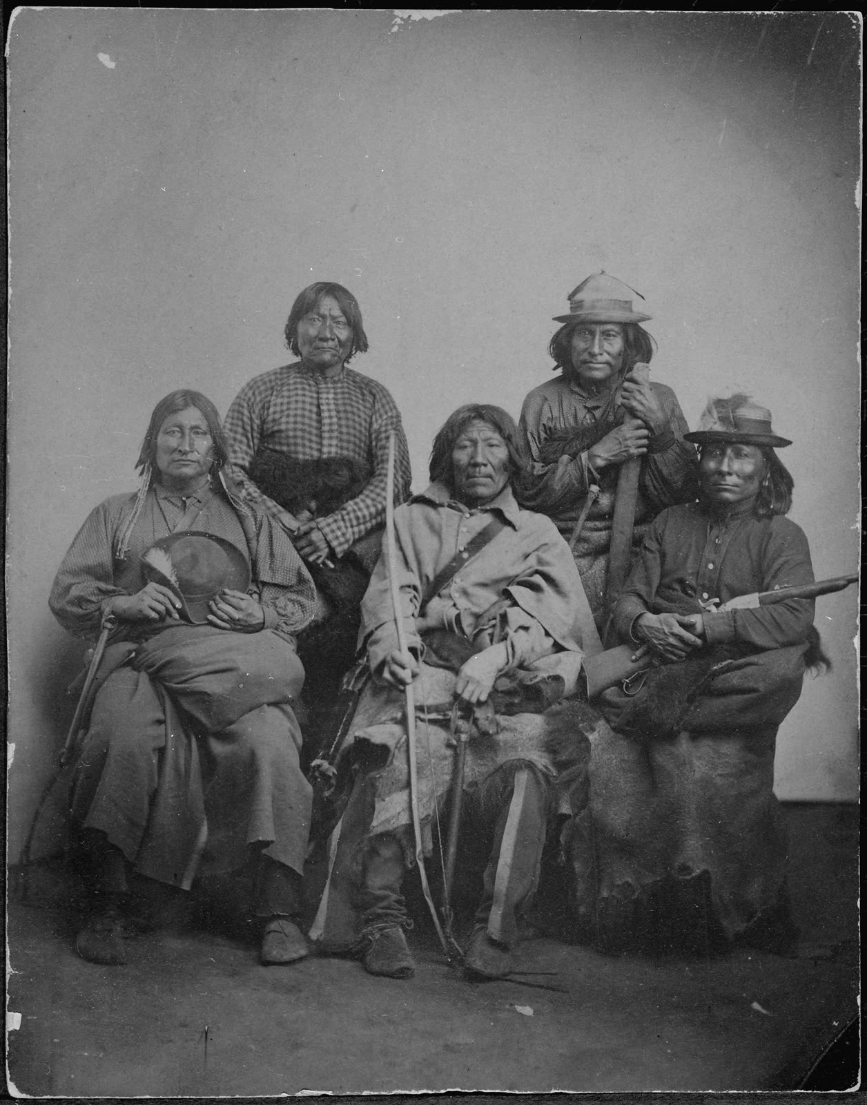
Er-Moke, a Kiowa chief, with his bodyguard, photographed by William S. Soule circa 1881–1885 at Fort Sill — Kiowa leaders like Er-Moke were part of the broader Southern Plains conflicts that shaped Montague County's frontier history
Pre-Anglo Texas

Comanche and Kiowa Peoples — Dominant Nations of the Southern Plains

For nearly two centuries, Comanche and Kiowa peoples were the dominant force shaping the human geography of Montague County's region. This is their history: origins, Comanchería at its peak, the frontier conflict era, and the collapse of 1874–1875.

Read article →
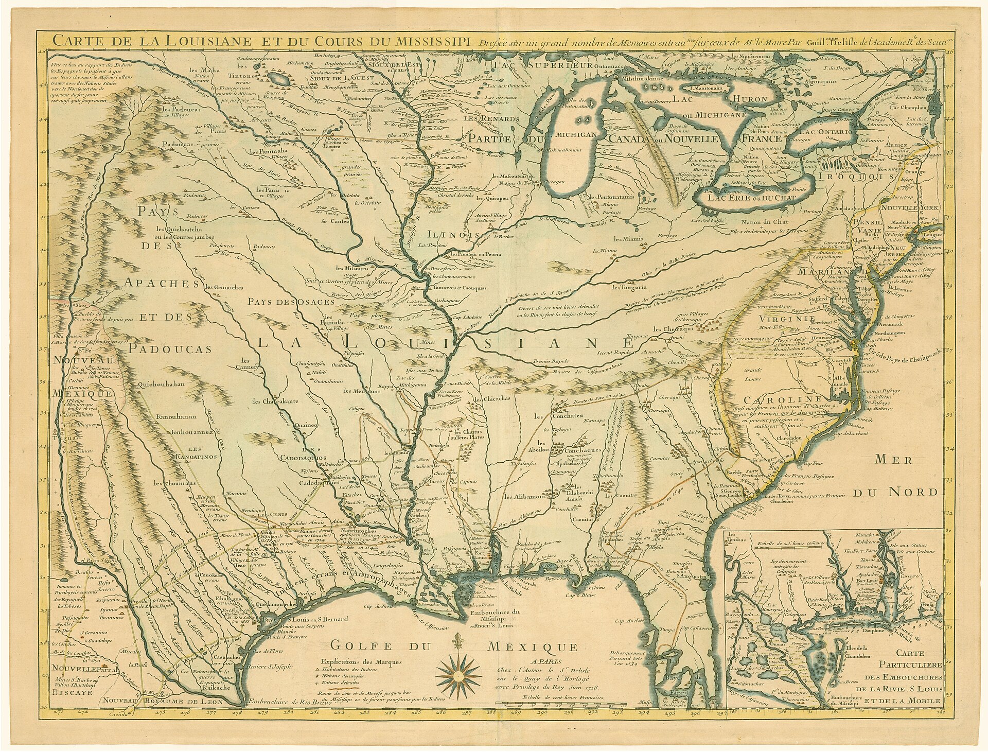
1718 Carte de la Louisiane et du Cours du Mississipi by Guillaume Delisle — the first detailed map of the Gulf region and the first printed map to show Texas, documenting French and Spanish colonial claims
Pre-Anglo Texas

Spanish–French Imperial Rivalry on the Texas–Louisiana Frontier

Two empires, one contested river corridor, and the Indigenous peoples who played them against each other. How French trade networks armed the Taovaya and shaped the 1759 battle at Spanish Fort.

Read article →
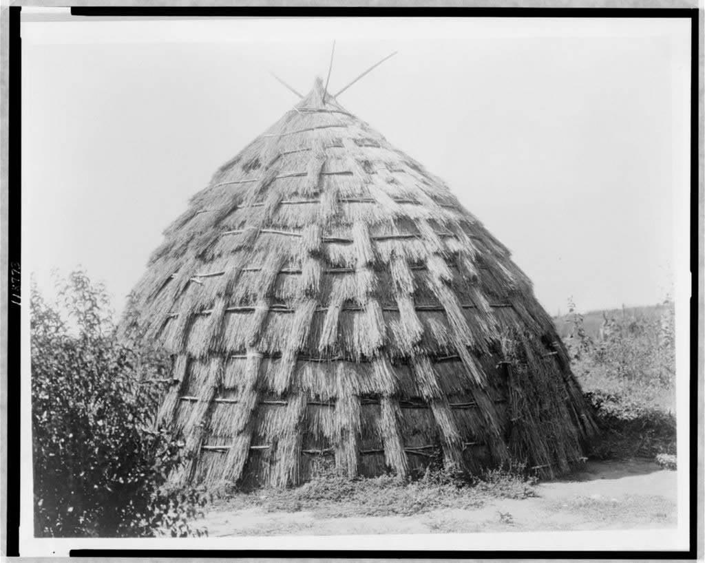
Wichita grass-house, photographed by Edward S. Curtis c.1927, showing the traditional architectural form of the Wichita (Taovaya) peoples who inhabited the Red River region including what is now Montague County
Pre-Anglo Texas

The Taovaya and Wichita Peoples on the Red River

Farmers, fortification-builders, and traders — the Wichita-Caddoan peoples who built the Spanish Fort village and repelled a Spanish army in 1759. The most underappreciated civilization in Montague County's deep history.

Read article →