Montague County is drained by several named creeks and many unnamed seasonal branches that carry runoff south toward the Trinity basin or north toward the Red River. Brushy Creek is among these local drainages — a creek-scale watershed running through the county’s Cross Timbers uplands whose name describes exactly what most of north Texas’s secondary creeks look like: brushy-banked, cedar-and-hackberry lined, seasonal in flow, and ecologically productive precisely because of the riparian corridor they cut through otherwise open ranch and farmland.
The Watershed
Brushy Creek drains portions of MoCo’s Western Cross Timbers terrain. Like most county-scale creeks in this region, it flows through rolling, post-oak-and-cedar uplands before its bottomland character asserts itself: the banks thicken with eastern red cedar, hackberry, elm, and willow; pecan trees take root where the soil deepens; brush closes in on both banks creating the corridor wildlife uses for cover and movement.
Flow is highly variable — driven by rainfall events, reduced to pools and seeps in summer dry periods, capable of rising quickly and dramatically during spring storm events. Severe drought years can stop flow in seasonal reaches entirely.
Riparian Ecology
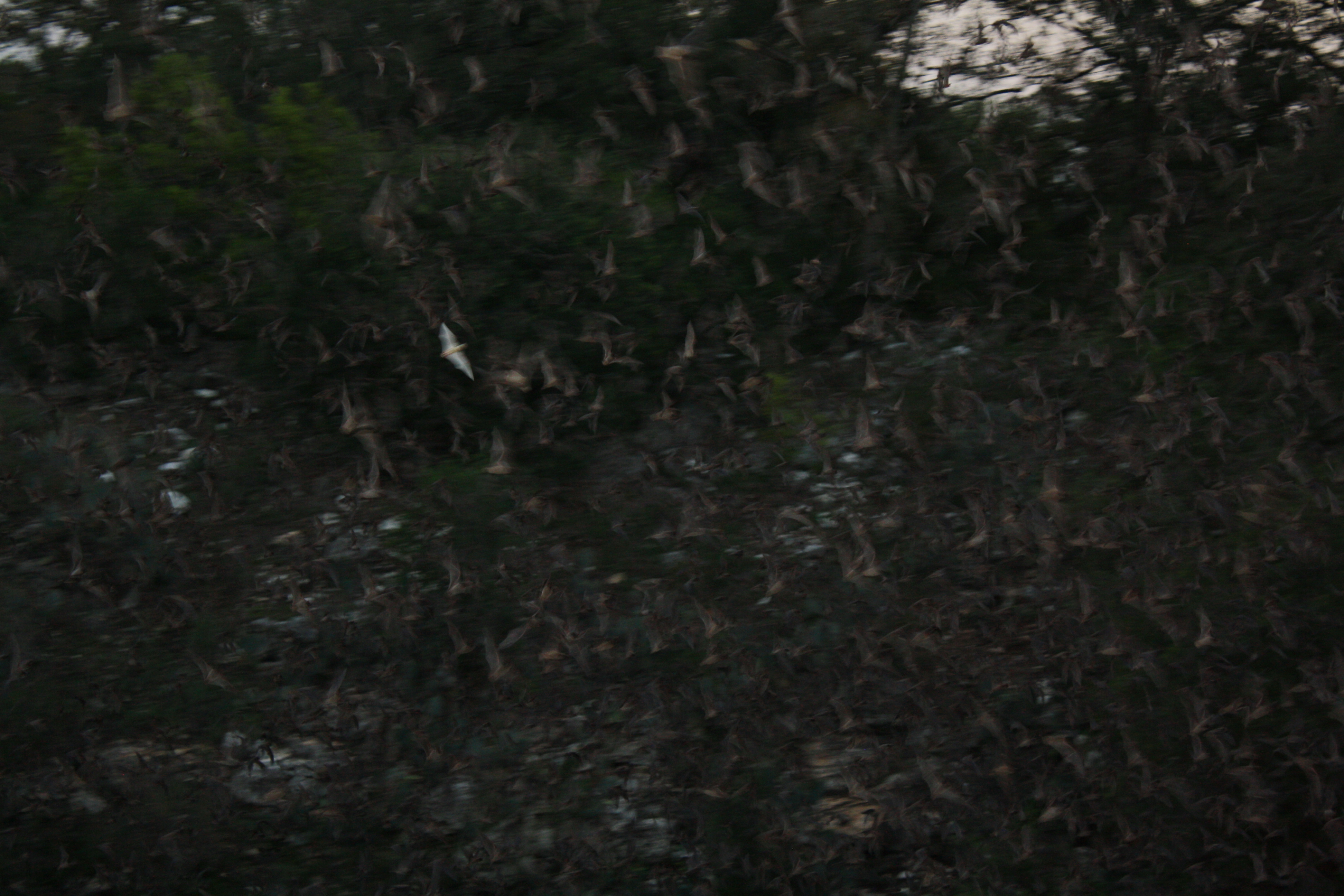
The creek-bottom habitat that Brushy Creek and similar drainages provide is among the most ecologically significant in the county, even where the creeks themselves are modest in size. The narrow band of bottomland hardwoods running through otherwise open or brushy Cross Timbers uplands functions as:
- Wildlife corridor — deer, turkey, and small mammals move through creek-bottom cover connecting upland habitat patches
- Songbird stopover — migrating warblers, vireos, and other neotropical migrants concentrate in creek-bottom timber during spring and fall migration
- Water access — every stock pond and creek hole in a county with limited surface water is a resource for wildlife year-round
The riparian plant community along Brushy Creek and similar drainages is characteristic of the Cross Timbers creek-bottom type: hackberry and cedar elm as dominant mid-story trees, pecan where soils are deep enough, willows along active streambanks, and a dense understory of greenbriar, grape, and woody shrubs that provides nesting cover and food.
Land Use Context
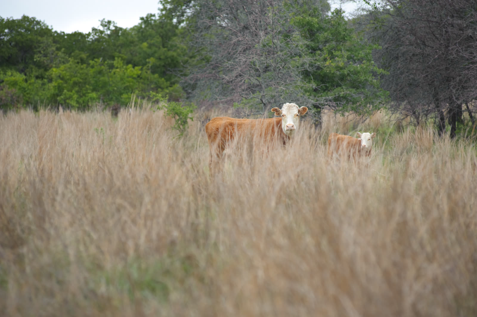
Most of Brushy Creek’s watershed is private ranch and agricultural land with limited public access. Cattle use the creek for water; some bottomland areas have been cleared for hay production. The creek is not impounded within MoCo’s boundaries — its flow contributes to the downstream basin rather than to local reservoir storage.
For the broader watershed context, see Denton Creek Watershed and Cross Timbers Ecoregion.
Related: Cross Timbers Ecoregion | Red River Ecology | Native Trees