Montague County’s climate is warm, variable, and prone to dramatic extremes. Hot summers with nearly a hundred days above 90°F, winters that oscillate between mild stretches and hard freezes, about 35 inches of rain in an average year with a distinct spring peak, and a genuine tornado-season vulnerability from April through June — this is the weather that shapes MoCo’s agriculture, ecology, and daily life.
The county falls within Köppen climate type Cfa (humid subtropical), with the western fringe approaching semi-arid characteristics as the annual rainfall gradient drops moving west. It sits at roughly 33.7° N latitude, about 250 miles from the Gulf of Mexico and 500 miles from the Rockies — close enough to Gulf moisture to sustain reasonable rainfall, close enough to continental air masses to produce dramatic temperature swings.
Average Temperature
The mean annual temperature for the Bowie area is approximately 65°F, with mean annual highs around 74°F and mean annual lows around 51°F (NOAA station data via USClimateData.com, sourcing NOAA/NWS station records). July is the hottest month (average high 93°F, average low 72°F); August is only fractionally cooler (average high 94°F, average low 71°F). January is the coldest month (average high 54°F, average low 30°F).
At the extremes: the nearest primary NWS climate station at Wichita Falls has recorded an all-time high of 112°F (September 8, 2023) and an all-time low of -8°F (February 2, 1985), based on NWS Norman Monthly Climate Summary products. The Bowie station (ASOS 0F2, active since 2009 only) lacks a sufficiently long archive for independent all-time records; Wichita Falls is the confirmed proxy. The 2021 Texas freeze was a notable regional extreme that likely approached historical lows at some MoCo locations.
Based on NCEI 1991–2020 climate normals for Wichita Falls Municipal Airport (the nearest primary NWS station, ~60 miles north of MoCo’s center): the area averages approximately 98 days per year with maximum temperature at or above 90°F and about 25 days per year at or above 100°F. Freeze nights (minimum at or below 32°F) average roughly 59 per year. MoCo values are expected to be broadly similar, with possibly slightly fewer extreme days given its slightly more southerly latitude.
Seasonal Pattern
Winter (December–February): Continental cold fronts — the “northers” of Texas weather lore — sweep through, dropping temperatures 30–40°F in a matter of hours. Between fronts, mild days in the 50s and 60s are common. Hard freezes below 20°F occur several times per winter. Snow is variable: some winters bring multiple events, others none.
Spring (March–May): Rapid warming punctuated by cold-front reversals. Late freezes are possible through mid-March. April is typically frost-free. Severe weather concentrates here — MoCo’s most active tornado and hailstorm period.
Summer (June–August): Hot and often dry. The spring rainfall pulse typically fades by July; heat waves with consecutive days above 100°F are a regular feature of extreme years. Afternoon thunderstorms are possible but not reliable.
Fall (September–November): Gradual cooling with a modest secondary rainfall peak. A minor second tornado season occurs in October. Deer season opens in late October in weather that ranchers and hunters read closely.
Precipitation Patterns
Annual average precipitation for the Bowie area is approximately 35 inches (USClimateData.com, sourcing NOAA station data; May is the wettest month at ~5.2 inches, January the driest at ~1.6 inches). This is a 28% upward correction from preliminary estimates — earlier drafts used 30–32 inches, which is closer to the Wichita Falls normal (~29–30 inches) than to the slightly wetter Bowie/MoCo position.
The spatial gradient within the county is real: the eastern county is wetter than the west, reflecting the broader Texas pattern of moisture declining as you move from the Gulf.
Year-to-year variability is extreme. Annual totals can range from roughly 15 inches in severe drought years to 50+ inches in very wet years. The drought–flood swing is the defining precipitation characteristic of north-central Texas — not steady moderate rain, but irregular pulses separated by dry gaps.
Snow averages 1–3 inches annually. Some winters: none. Some winters: 5–10+ inches in a single event. Ice storms — freezing rain accumulating on trees, power lines, and roads — produce major damage events roughly once per decade.
The spring peak (April–June) reflects the clash of Gulf moisture and incoming cold fronts, the same dynamic that drives tornado activity. July–August is the typical dry-down period when hay-making weather and drought anxiety peak simultaneously.
Tornado Risk
MoCo sits in the southern portion of what meteorologists call Tornado Alley — the central US corridor with the highest tornado frequency in the world. The county is not the highest-risk spot in the alley (which runs through Oklahoma and Kansas), but it is within the zone where violent tornadoes are a documented recurrent hazard.
Tornado season peaks in April through June, with a secondary peak in October–November. Significant documented events include: the 1906 Bellevue–Stoneburg F4 (Bellevue is in Clay County; the storm struck Stoneburg in MoCo); an April 1921 Bowie-area tornado; and the February 2009 Spanish Fort tornado (EF1 in MoCo, intensifying to EF4 after it crossed into Oklahoma). Most years produce 2–5 tornado events in or near MoCo — many weak and brief, occasionally violent.
NWS Norman (Oklahoma) is the responsible forecast office for MoCo tornado watches and warnings. A NOAA weather radio receiver or phone-based warning system is the practical preparedness minimum for rural residents.
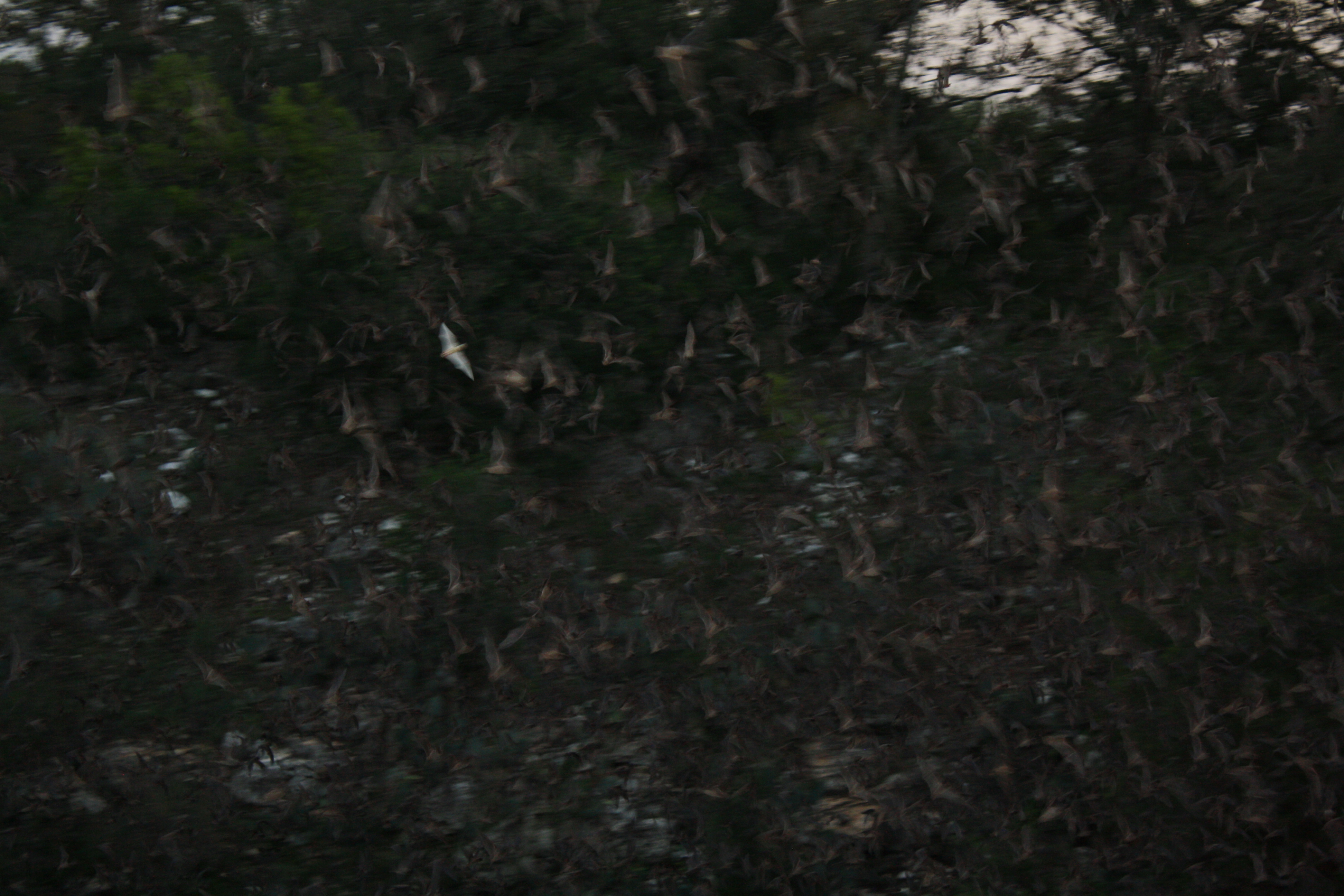
Hailstorms cause significant annual damage to vehicles, roofing, and crops. Golf-ball to softball-sized hail is possible in severe spring storms. Lightning from the same storm systems ignites wildfires in dry years — the 2011 season produced major range and woodland fires across north Texas. Derecho events (long-track straight-line wind storms) are an additional severe-weather category that strikes occasionally with widespread impact.
Drought History
Multi-year drought cycles are a fundamental feature of MoCo’s climate, not aberrations. The 1950s drought (approximately 1950–1957, with peak severity 1953–1957) is the modern benchmark — it drove the construction of Lake Amon G. Carter (1956) and Lake Nocona (1960) as direct infrastructure responses. The 2011 drought reset modern memory: roughly 14–18 inches of rainfall at some MoCo locations versus the normal 35 inches, significant tree mortality in the Cross Timbers, wildfires, and livestock liquidation.
The 2024–2025 period brought sustained severe to exceptional drought back to north-central Texas, with widespread D2–D3 conditions and periods of D4. Spring 2026 rains provided some relief but full recovery remained ongoing as of the latest US Drought Monitor reports. (See also Drought Cycles.)
The annual “we need rain” of rural conversation is both literal and ritual. Drought is not an occasional event in MoCo — it is a recurring condition that agriculture, water management, and ecological planning must all account for.
Growing Season and Agricultural Climate
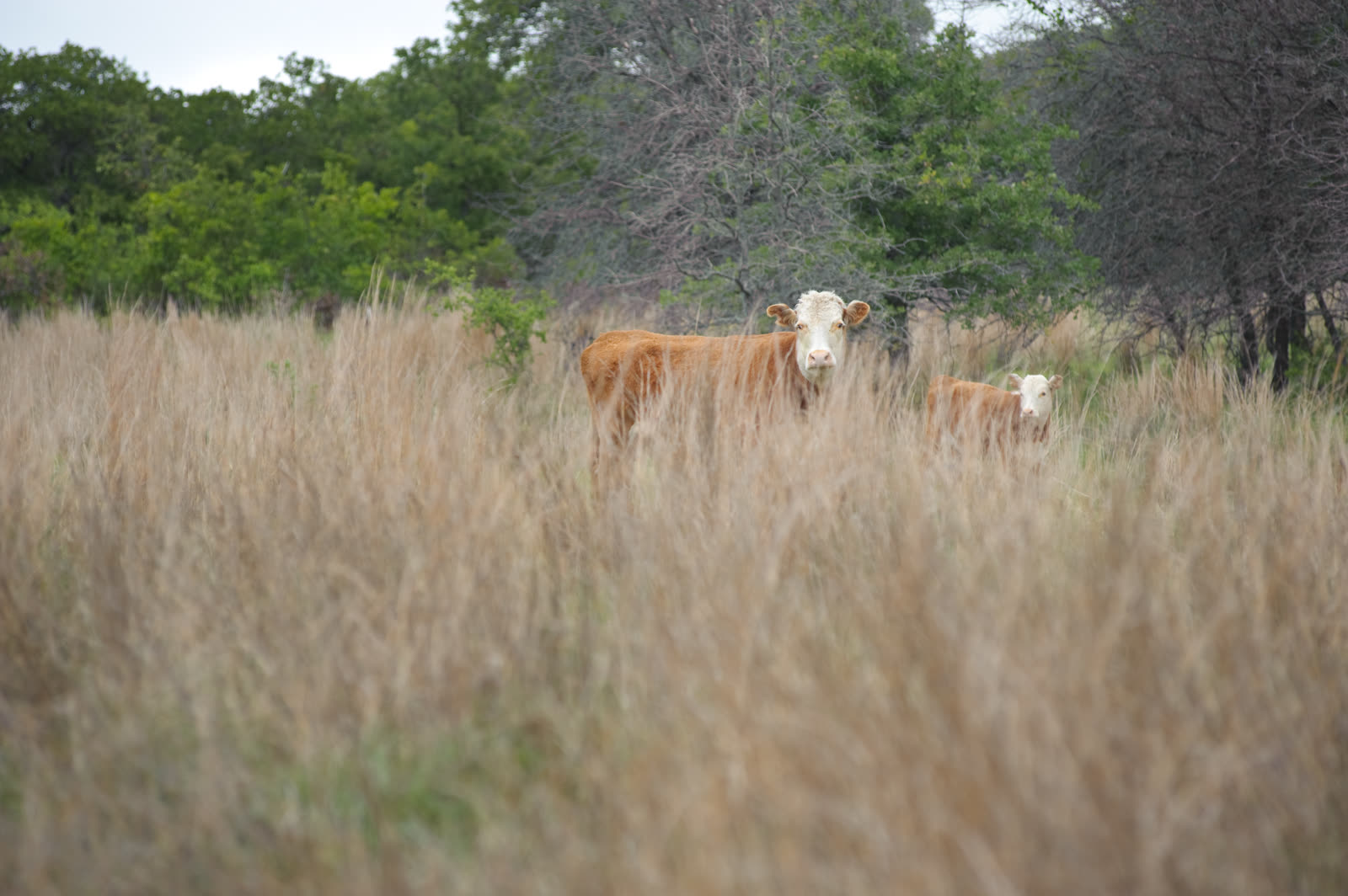
The average last spring frost falls in late March to early April; the average first fall frost arrives in late October to early November, producing a frost-free growing season of approximately 210–220 days. This is long enough for double-cropping in some combinations and supports both cool-season crops (winter wheat) and warm-season crops (cotton historically, milo, sorghum, corn, hay, watermelons).
The historical cotton economy, the peach and apple orchards, Forestburg’s watermelon specialty, and the current cattle-and-hay agriculture all developed in calibration with this climate window.
Climate Change Projections
Regional projections for north-central Texas are consistent across modeling efforts: temperatures rising 2–5°F by mid-century, with more frequent extreme heat events, more variable precipitation (heavier rain events with more intense dry gaps between them), and increased drought severity. The 98-day average of temperatures above 90°F may extend by weeks. Water supply reliability based on historical patterns becomes less trustworthy as the baseline shifts.
For MoCo, the practical implications include: increased reservoir evaporation stress during drought periods, shifts in crop variety selection and irrigation demand, wildlife range changes as south Texas species expand northward, and infrastructure stress from more intense storm events and heat load on power systems.
Weather Culture
Weather is the constant background of rural Texas life. Drought watch, storm-season anxiety, hay weather, hunting-season fronts — the climate shapes daily decisions and long-term planning in ways that urban populations rarely experience. The rancher who checks the 10-day forecast every morning, the farmer who reads the sky before committing to cut hay, the school superintendent who watches spring radar on Friday nights — MoCo’s relationship to weather is immediate, practical, and generational.
Related nature topics: Notable Tornadoes | Drought Cycles | Red River Ecology | Cross Timbers Ecoregion